

UAV, Machine Learning, And GIS for Wetland Mitigation in Southwestern Utah, USA
Document Type
Conference Paper
Journal/Book Title/Conference
17th Esri India User Conference 2017
Publisher
Esri
Location
Delhi, India
Publication Date
12-13-2017
Abstract
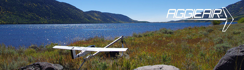
This research focusses on wetland mitigation as a part of a highway project through the use of Unmanned Aerial Vehicles (UAV) called AggieAir and state-of-the-art wetland classification technique. The study area is a wetland in the Southern Parkway construction site in Washington County, Utah, United States. The Utah Department of Transportation (UDOT) needs to build a road through the wetland connecting the southern parkway to the new Saint George International airport and hence wetland mitigation measures are required. Wetland mitigation means the replacement of the exact function and value of specific habitats that would be adversely affected by the proposed project. AggieAir was used to acquire high-resolution aerial imagery of the study area to aid UDOT to map the wetland. AggieAir flew over the wetland on different dates and imagery was acquired in the visible and NIR bands. The multiclass- relevance vector machine algorithm was used to classify the georeferenced UAV imagery of the area. The UDOT field crew collected ground truthing samples of eight classes of wetland species from within the Utah Lake Wetlands prior to the UAV flight. The imagery and GPS data was imported into ArcGIS for creating a map of the study area. The MCRVM machine was trained for ten classes namely Phragmites, Baltic rush, Beaked sedge, Hardstem bullrush, Saltgrass, Broad leaf cattail, Narrow leaf cattail, water, snow and concrete. The training data set for the MCRVM model was prepared in ArcGIS using the ground truthing for various species of wetland grass and visually picking up samples on snow, concrete and water. The classification results from the RVM model were used to create class map of the area in ArcGIS. The results showed considerable accuracy and good agreement with the actual classes. It was concluded that the UAV may prove to be a viable and cost-effective option for wetland mitigation for highway management as information processing is faster and more accurate with the use of state-of-the-art classification models with the UAV.
Recommended Citation
Zaman, Bushra; Jensen, Austin M.; and McKee, Mac, "UAV, Machine Learning, And GIS for Wetland Mitigation in Southwestern Utah, USA" (2017). AggieAir Presentations. Paper 59.
https://digitalcommons.usu.edu/aggieair_pres/59