

Aspen Bibliography
Document Type
Document
Source
RSAC-0110- RPT2. Salt Lake City, UT: U.S. Department of Agriculture Forest Service, Remote Sensing Applications Center
Publication Date
2009
Abstract
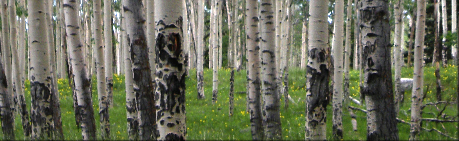
Large areas of aspen (Populus tremuloides) have disappeared and continue to disappear from western forests due to successional decline and sudden aspen decline (SAD). This loss of aspen ecosystems negatively impacts watersheds, wildlife, plants, and recreation. Much can still be done to restore aspen if timely and appropriate action is taken. However, land managers often lack fundamental information on the location, quantity, and status of aspen stands. This information is needed to plan, implement, and defend aspen restoration activities, but it is often difficult and costly to obtain. Advances in remote sensing technologies can provide cost-effective ways to obtain spatial and quantitative information about aspen to support restoration activities at multiple scales. With sponsorship from the U.S. Department of Agriculture Forest Service Remote Sensing Steering Committee, the Forest Service Remote Sensing Applications Center conducted three pilot studies to develop remote sensing methods for obtaining key information about aspen. Efforts were focused primarily on developing a method to create a stratified probability map of aspen cover from Landsat Thematic Mapper (TM) satellite imagery for a study area located in the Custer National Forest. Photo-interpreted samples of the strata yielded estimates of the aspen cover present in each stratum. This product can greatly increase the efficiency of planning restoration activities and collecting associated field data. Pilot studies were also conducted to develop remote sensing methods to map SAD across large areas and map small, isolated aspen patches for restoration planning.
Recommended Citation
Hamilton, Randy; Megown, Kevin; DiBenedetto, Jeff; Bartos, Dale; and Mikeck, Anne, "Assessing aspen using remote sensing" (2009). Aspen Bibliography. Paper 3483.
https://digitalcommons.usu.edu/aspen_bib/3483