

Aspen Bibliography
Exploring A Stable Aspen Niche Within Aspen-Conifer Forests of Utah
Abstract
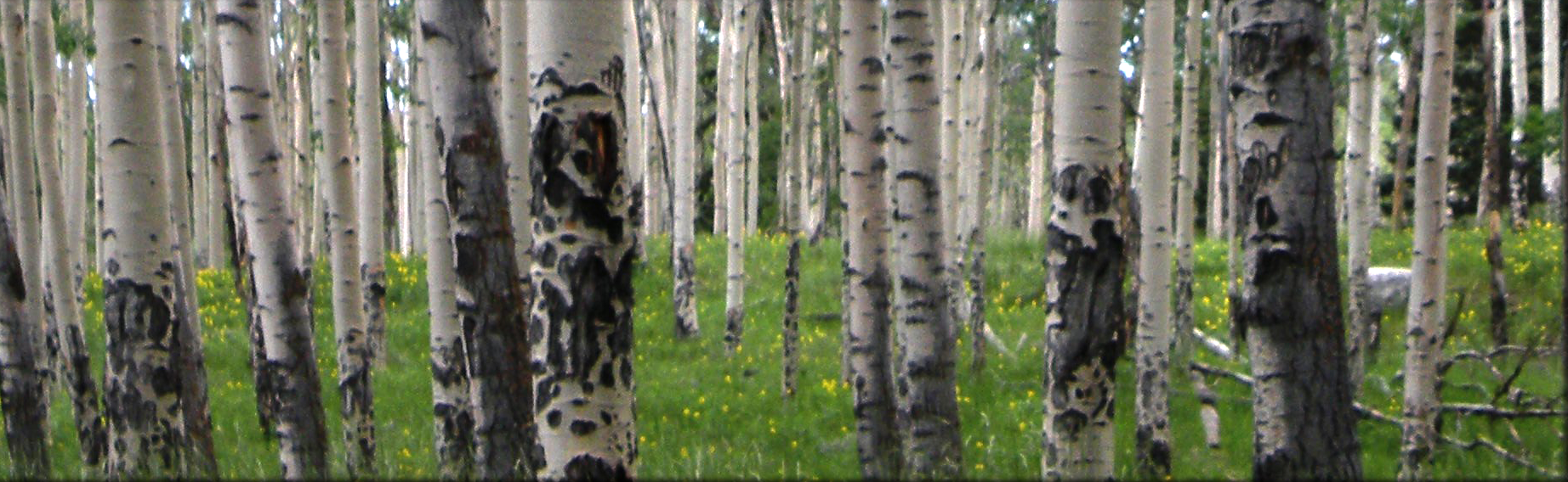
Quaking aspen (Populus tremuloides Michx.) is the most widespread broadleaf tree species of North America. Increasing evidence shows that aspen has diverging ecological roles across its range as both “seral” and “stable” aspen community types. This leads us to believe that the successional pathway of aspen may not always lead to a climax conifer sere, but may in some cases consist of persisting stands of pure aspen. This study is an attempt to understand the relationship of aspen community types to climatic, physical, and biophysical variables by modeling patterns of aspen and conifer distribution using remote sensing and GIS technology. Study methodologies and results were specifically designed to aid land managers in identifying extent and status of aspen populations as well as prioritizing aspen restoration projects. Four study sites were chosen in order to capture the geographic and climatic range of aspen. Photointerpretation of NAIP color infrared imagery and linear unmixing of Landsat Thematic Mapper imagery were used to classify dominant forest cover. A Kappa analysis indicates photointerpretation methods to be more accurate (Khat=92.07%, N=85) than linear unmixing (Khat=51.05%, N=85). At each plot, variables were calculated and derived from DAYMET data, digital elevation models, and soil surveys, then assessed for precision and ability to model aspen and conifer distributions. A generalized linear model and discriminant analysis were used to assess habitat overlap between aspen and conifer and to predict areas where “stable” aspen communities are likely to occur. Results do not provide definitive evidence for a “stable” aspen niche. However, the model indicates 60 to 90 cm of total annual precipitation and topographic positions receiving greater than 4,500 Wh m‐2 d‐1 of solar radiation have a higher potential for “stable” aspen communities. Model predictions were depicted spatially within GIS as probability of conifer encroachment. In addition, prediction‐conditioned fallout rates and receiver operating characteristic curves were used to partition the continuous model output. Categorical maps were then produced for each study site delineating potential “stable” and “seral” aspen community types using an overlay analysis with landcover maps of aspen‐conifer forests.