

Aspen Bibliography
A per-segment approach to improving aspen mapping from high-resolution remote sensing imagery
Document Type
Article
Journal/Book Title/Conference
Journal of Forestry
Volume
101
Issue
4
First Page
29
Last Page
33
Publication Date
2003
Abstract
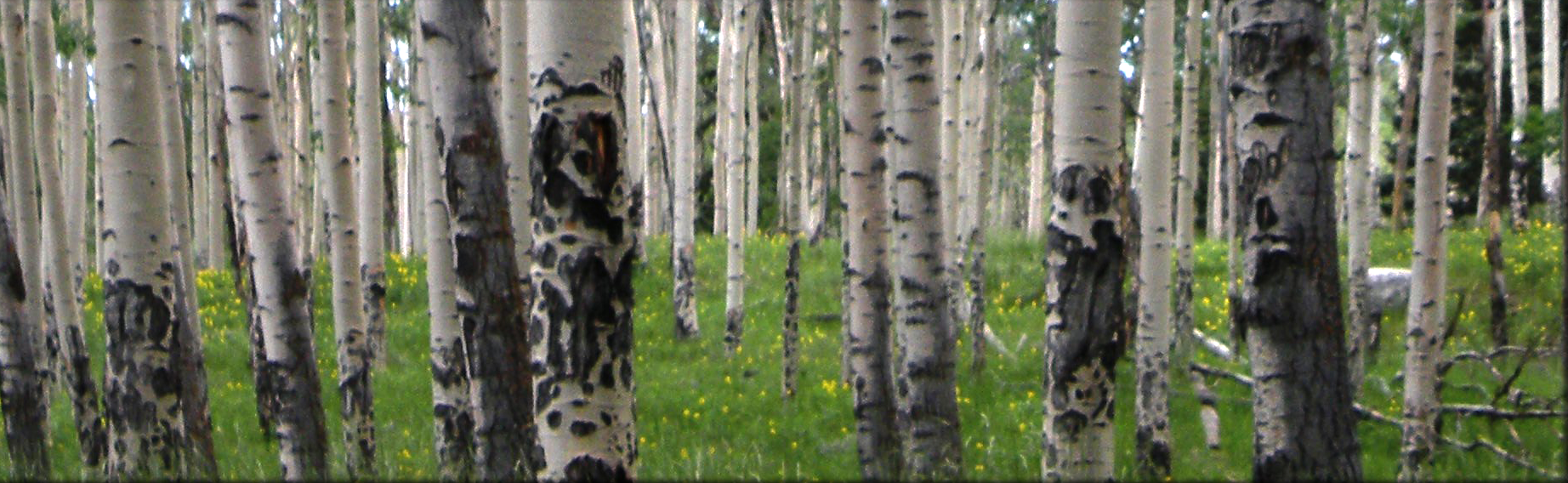
Aspen (Populus tremuloides) stands on Winter Ridge in central Oregon were mapped from remote sensing imagery utilizing a per-segment approach. A 1-meter color infrared (CIR) image was segmented based on its hue and saturation values to generate aspen “candidates,” which were then classified to show aspen coverage according to the mean values of multiresolution texture and spectral reflectance within the segments. With three broad categories for aspen distribution, overall accuracy was 88 percent, with K-hat statistics of 82 percent. The classification method holds promise for more detailed mapping of aspen from fine-resolution satellite imagery.
Recommended Citation
Heyman, O.; Gaston, G.G.; Kimerling, A.J.; and Campbell, J.T., "A per-segment approach to improving aspen mapping from high-resolution remote sensing imagery" (2003). Aspen Bibliography. Paper 121.
https://digitalcommons.usu.edu/aspen_bib/121