

Aspen Bibliography
Document Type
Article
Journal/Book Title/Conference
Fire
Volume
2
Issue
1
Publisher
MDPI AG
First Page
1
Last Page
21
Publication Date
3-14-2019
Creative Commons License

This work is licensed under a Creative Commons Attribution 4.0 License.
Abstract
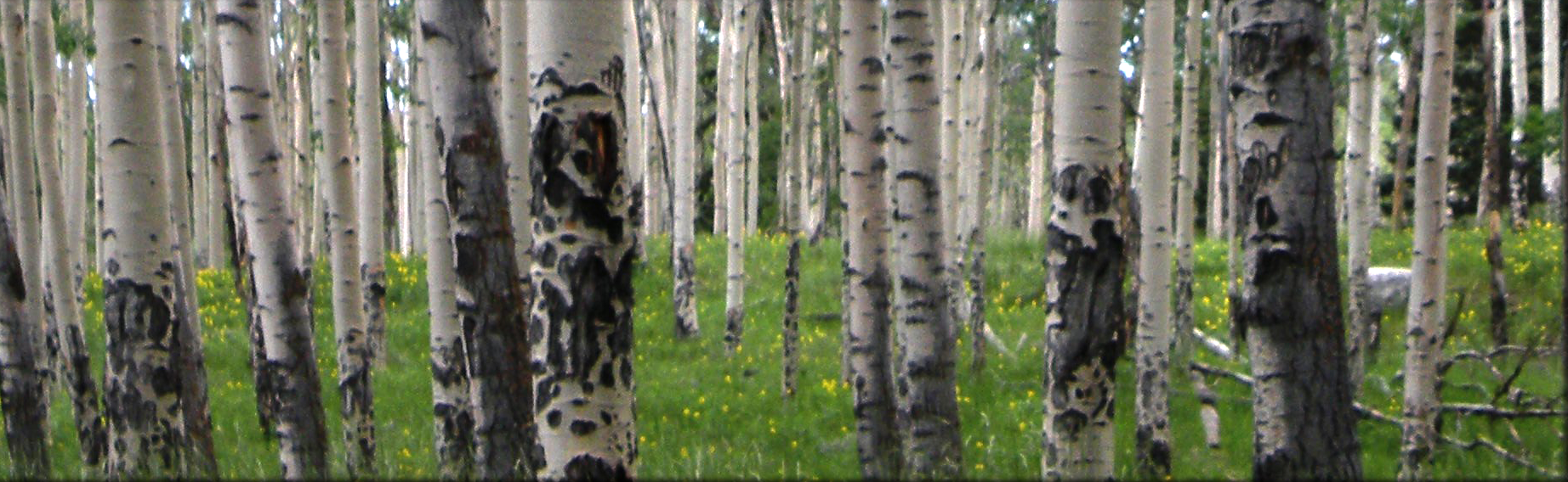
Tree-ring fire scars, tree ages, historical photographs, and historical surveys indicate that, for centuries, fire played different ecological roles across gradients of elevation, forest, and fire regimes in the Taos Valley Watersheds. Historical fire regimes collapsed across the three watersheds by 1899, leaving all sites without fire for at least 119 years. Historical photographs and quaking aspen (Populus tremuloides Michx.) ages indicate that a high-severity fire historically burned at multiple high-elevation subalpine plots in today’s Village of Taos Ski Valley, with large high-severity patches (>640 ha). Low-severity, frequent (9–29-year median interval) surface fires burned on the south aspects in nearby lower elevation dry conifer forests in all watersheds. Fires were associated with drought during the fire year. Widespread fires commonly burned synchronously in multiple watersheds during more severe drought years, preceded by wet years, including fire in all three watersheds in 1664, 1715, and 1842. In contrast, recent local “large” wildfires have only burned within single watersheds and may not be considered large in a historical context. Management to promote repeated low-severity fires and the associated open stand structures is within the historical range of variability in the dry conifer forests of these watersheds. In the high-elevation, subalpine forests, different management approaches are needed, which balance ecological and socioeconomic values while providing public safety.
Recommended Citation
Johnson, L.B.; Margolis, E.Q. Surface Fire to Crown Fire: Fire History in the Taos Valley Watersheds, New Mexico, USA. Fire 2019, 2, 14.
Included in
Agriculture Commons, Ecology and Evolutionary Biology Commons, Forest Sciences Commons, Genetics and Genomics Commons, Plant Sciences Commons