

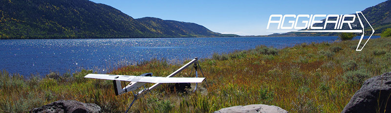
AggieAir
The Utah Water Research Laboratory’s (UWRL) AggieAir program explores how aerial imagery and remote sensing technology can be used by way of unmanned aerial vehicles (UAVs). The creators of AggieAir recognized the benefits of remote sensing for studying agriculture, and they found the means to do so through UAVs, a low-cost alternative to satellites and manned aircraft. AggieAir utilizes UAVs for gathering data on river discharge, soil moisture, surface stream temperatures, and more in order to help with precision agriculture, vegetation mapping, wildlife tracking, etc. Through the continuous process of designing, calibrating, and testing UAVs, the AggieAir program is able to improve their ability to gather data for practical applications.