

Vicarious Calibration of sUAS Thermal Imagery for Scientific Remote Sensing Applications [B53H-0607]
Document Type
Presentation
Journal/Book Title/Conference
American Geophysical Union Fall Meeting
Location
San Francisco, California
Publication Date
12-12-2016
Abstract
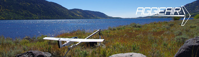
Small Unmanned Aerial Systems (sUAS) have become an accessible technology for collection of spatially distributed temperature data at fine resolution. Nevertheless, lack of standard procedures for atmospheric temperature correction can have an adverse impact on the conclusions and replicability of studies using this technology. This work presents a vicarious calibration methodology for sUAS thermal imagery traceable back to NIST standards. For this methodology, a 3-yr. data collection campaign with a sUAS technology, called “AggieAir”, developed at the Utah Water Research Laboratory, was performed under different daytime conditions. A comparison between original and vicarious calibration for the sUAS thermal imagery is provided, along with a set of recommendations for scientific thermal sUAS applications.
Recommended Citation
Torres-Rua, Alfonso F., "Vicarious Calibration of sUAS Thermal Imagery for Scientific Remote Sensing Applications [B53H-0607]" (2016). AggieAir Presentations. Paper 61.
https://digitalcommons.usu.edu/aggieair_pres/61