

Aspen Bibliography
Document Type
Article
Source
Tech. Rep. INT-GTR-338.
Journal/Book Title/Conference
Proceedings: Shrubland Ecosystem Dynamics in a Changing Environment
Publisher
U.S. Department of Agriculture
First Page
66
Last Page
68
Location
Ogden, UT
Publication Date
5-1995
Creative Commons License

This work has been identified with a Creative Commons Public Domain Mark 1.0.
Abstract
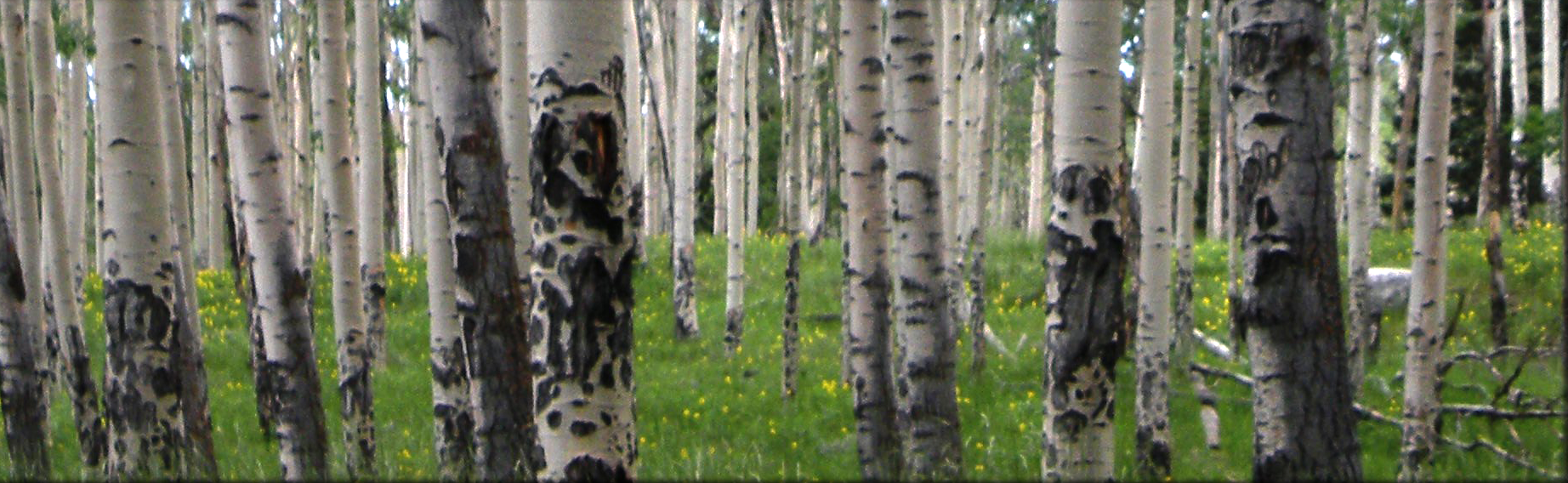
Plant community changes and natural succession over time impact forage values, watershed quality, wildlife habitat, and ecosystem dynamics. Comparisons were made between a vegetation map of community types completed in 1937 by the U.S. Forest Service, and vegetation maps compiled in 1990 of the same areas by satellite imagery, and through 1991 areal photo interpretation combined with ground truthing. The study area includes nearly all of the drainage in Ephraim Canyon located in central Utah which consists of 6,027 acres (2,439 ha). Elevation ranges from 6,600 to 10,400 feet (2,040 to 3,210 m). Vegetation types ranged from pinyon-juniper woodland through oakbrush, mountain shrub, aspen, conifer and subalpine herbland. The comparison showed significant plant community changes and successional trends over the 54 year period.
Recommended Citation
Walker, Scott, C.; Mann, David K.; McArthur, E. Durant. 1996. Plant community changes over 54 years within the Great Basin Experimental Range, Manti-La Sal National Forest. In: Barrow, Jerry R.; McArthur, E. Durant; Sosebee, Ronald E.; Tausch, Robin J., compilers. Proceedings: shrubland ecosystem dynamics in a changing environment; 1995 May 23-25; Las Cruces, NM. Gen. Tech. Rep. INT-GTR-338. Ogden, UT: U.S. Department of Agriculture, Forest Service, Intermountain Research Station: 66-68.
Included in
Agriculture Commons, Ecology and Evolutionary Biology Commons, Forest Sciences Commons, Genetics and Genomics Commons, Plant Sciences Commons