

Aspen Bibliography
Document Type
Article
Author ORCID Identifier
Santosh K. Panda https://orcid.org/0000-0003-1990-9479
Uma Suren Bhatt https://orcid.org/0000-0003-1056-3686
Franz J. Meyer https://orcid.org/0000-0002-2491-526X
Journal/Book Title/Conference
Remote Sensing
Volume
13
Issue
5
Publisher
MDPI AG
First Page
1
Last Page
15
Publication Date
2-27-2021
Creative Commons License

This work is licensed under a Creative Commons Attribution 4.0 License.
Abstract
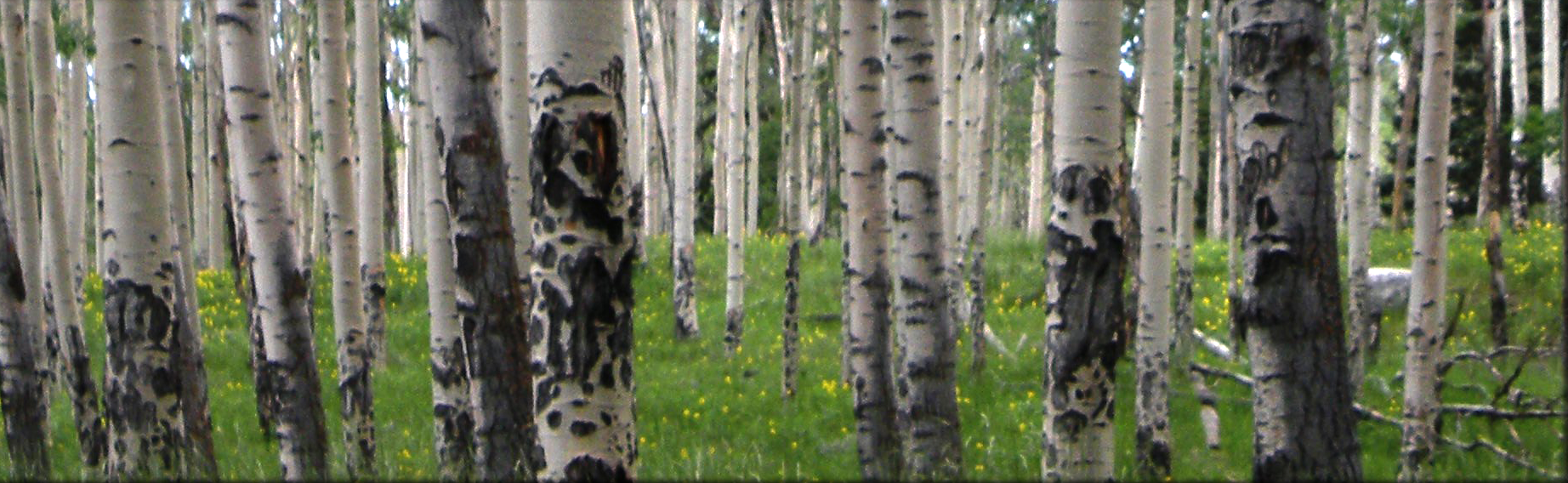
In Alaska the current wildfire fuel map products were generated from low spatial (30 m) and spectral resolution (11 bands) Landsat 8 satellite imagery which resulted in map products that not only lack the granularity but also have insufficient accuracy to be effective in fire and fuel management at a local scale. In this study we used higher spatial and spectral resolution AVIRIS-NG hyperspectral data (acquired as part of the NASA ABoVE project campaign) to generate boreal forest vegetation and fire fuel maps. Based on our field plot data, random forest classified images derived from 304 AVIRIS-NG bands at Viereck IV level (Alaska Vegetation Classification) had an 80% accuracy compared to the 33% accuracy of the LANDFIRE’s Existing Vegetation Type (EVT) product derived from Landsat 8. Not only did our product more accurately classify fire fuels but was also able to identify 20 dominant vegetation classes (percent cover >1%) while the EVT product only identified 8 dominant classes within the study area. This study demonstrated that highly detailed and accurate fire fuel maps can be created at local sites where AVIRIS-NG is available and can provide valuable decision-support information to fire managers to combat wildfires.
Recommended Citation
Smith, C. W., S. K. Panda, U. S. Bhatt, and F. J. Meyer. 2021. Improved Boreal Forest Wildfire Fuel Type Mapping in Interior Alaska Using AVIRIS-NG Hyperspectral Data. Remote Sensing 13:897.
Included in
Agriculture Commons, Ecology and Evolutionary Biology Commons, Forest Sciences Commons, Genetics and Genomics Commons, Plant Sciences Commons
Comments
© 2021 by the authors. Licensee MDPI, Basel, Switzerland. This article is an open access article distributed under the terms and conditions of the Creative Commons Attribution (CC BY) license (https:// creativecommons.org/licenses/by/ 4.0/).